Planning constraints API

Streamline your development projects with UK planning constraints data

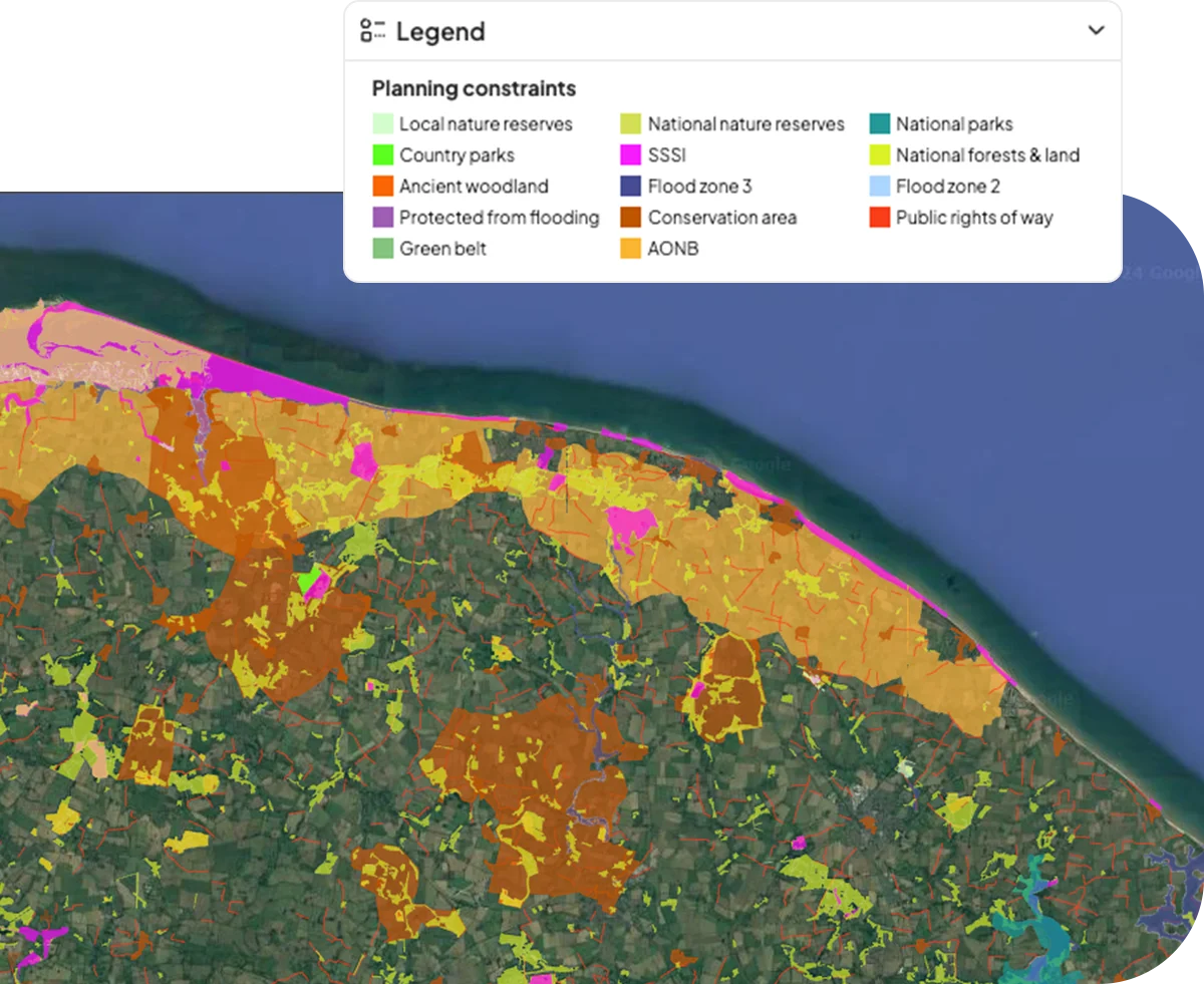
Navigate the complex landscape of land development in England, Wales, and Scotland with precision. Our planning constraints API delivers an extensive database of environmental and policy-related restrictions, equipping you with the vital information needed to identify the permanent and temporary barriers to development.

Our planning constraints tools are also available as part of a Searchland licence.

Natural riverside environment in the UK

Our planning constraints API integrates seamlessly with bespoke platforms & GIS solutions

Access many data sets covering planning constraints across England, Scotland and Wales. Includes Heritage constraints, natural and protected areas constraints, flood zones, agricultural land, Article 4, nutrient land, Coal Authority data, and London-only datasets. View our API docs here.

Key API features

Planning constraints around Norfolk as shown in Searchland
Heritage constraints
Access to comprehensive data on heritage site locations and associated development restrictions.
Natural and protected areas
Detailed mapping and regulatory information for national parks, reserves, and conservation zones.
Flood zones
Extensive flood risk data, including historical and predictive analysis for specific locations.
Agricultural land
Information on land quality, agricultural potential, and related development policies.
Article 4
Insight into local Article 4 directives and how they impact development rights.
Nutrient insights
Data on nutrient neutrality requirements and mitigation strategies for development projects.
Coal Authority data
Detailed reports on past mining activities, subsidence risks, and coal mining regulations.
London-only datasets
Specialised datasets tailored to London’s unique urban planning and development landscape.

Find your perfect API

Make decisions with confidence
With access to a vast array of data on environmental and policy constraints, you can make more informed decisions about land development opportunities.
Speed up information gathering
Instead of navigating through multiple sources and possibly outdated data, you can access up-to-date, comprehensive planning constraint information in one place.
Improve strategic advantage
Identify opportunities that others might overlook and avoid areas with high risk or excessive planning limitations.
Map showing the various different types of planning constraints data found in Searchland

Used by property industry veterans

GallifordTry Logo
RWE logo
Purple Bricks Logo
Neat Developments logo
Downing logo

Ready to access our data?

Our property data API is available as an off-the-shelf solution, or as a package tailored to your specific needs. Get in touch with us to start a conversation.