
Local Plan API · Allocations & policy
Align every project with the local plan.
Access structured, standardised data from Local Plans across England — allocations, settlement boundaries and planning policies — so developers and planners can ensure every project aligns with local priorities and policy frameworks.
Our Local Plan datasets, including the Local Plan Policy tool, are also available as part of a Searchland licence.

Local Plan sources
Local Plan data that integrates with bespoke platforms & GIS
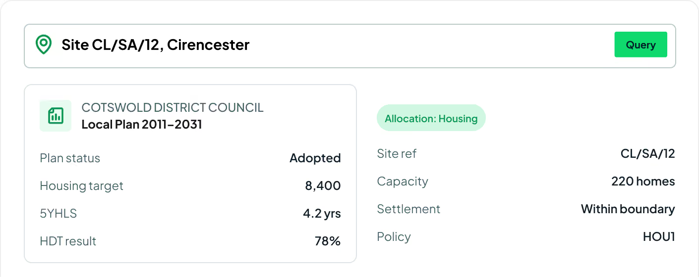
Our API includes an array of datasets — allocations, settlement boundaries, Local Plan information and Local Plan policy — covering endpoints such as plan status, HDT overview, 5YHLS and more across England.
View our API documentsLocal Plan endpoints
Key API features.
Every layer behind the Searchland Local Plan map — allocations, settlement boundaries, policy and delivery metrics across England.

Local Plan policy
The complete set of rules and guidelines for how land is used and developed in each authority.
Allocations
Designated areas of land for particular uses across England — most notably housing delivery.
Settlement boundaries
The defined extent of the built area, indicating where new housing should be built.
Plan status
Adopted and emerging Local Plan status for each council.
Plan period
The start and end years that each Local Plan covers.
Housing targets
Local housing requirements and the allocation totals behind them.
Housing delivery test
HDT results measured against each authority's housing target.
5-year housing land supply
The 5YHLS position for each local authority.
Plan history
Adoption dates and the evolution of each Local Plan over time.
.svg)

Strategic decision making
By understanding the Local Plan, you get a clearer view of whether your project meets the needs of the local area — improving your chances of a successful application.
Standardised data
We've all wrestled with hit-and-miss council portals and clunky websites. Find every dataset you need — enhanced, cleansed and centralised.
Save time and resources
Streamline gathering and analysing Local Plan data. Eliminate manual research, find everything in one place and reduce the likelihood of errors.
Request sample dataTrusted by the UK's leading developers


.avif)







Endpoint catalogue
More Searchland APIs.
The Local Plan API is one of ten datasets behind the Searchland platform — every one available through the same clean, consistent API.


FAQ
Answers.
What does the Local Plan API cover?

It returns Local Plan policy designations within a given area — spatial policy areas tagged with an LPA code, policy category, and policy ID, plus the underlying geometry.
Which areas are covered?
Local Plan policy data spans England, Wales, and Scotland, following each council's own local plan boundaries.
We can’t wait to get you on board
Ready to access our data?
Our property data API is available as an off-the-shelf solution, or as a package tailored to your specific needs. Get in touch with us to start a conversation.