

More than 823,000 homes could be built within walking distance of England’s most well-connected train stations, based on new analysis aligned with proposed changes to the National Planning Policy Framework (NPPF).
That’s equivalent to nearly three years of the government’s 300,000 homes-a-year target, and almost four years of current housing delivery levels - highlighting the scale of opportunity around transport hubs.
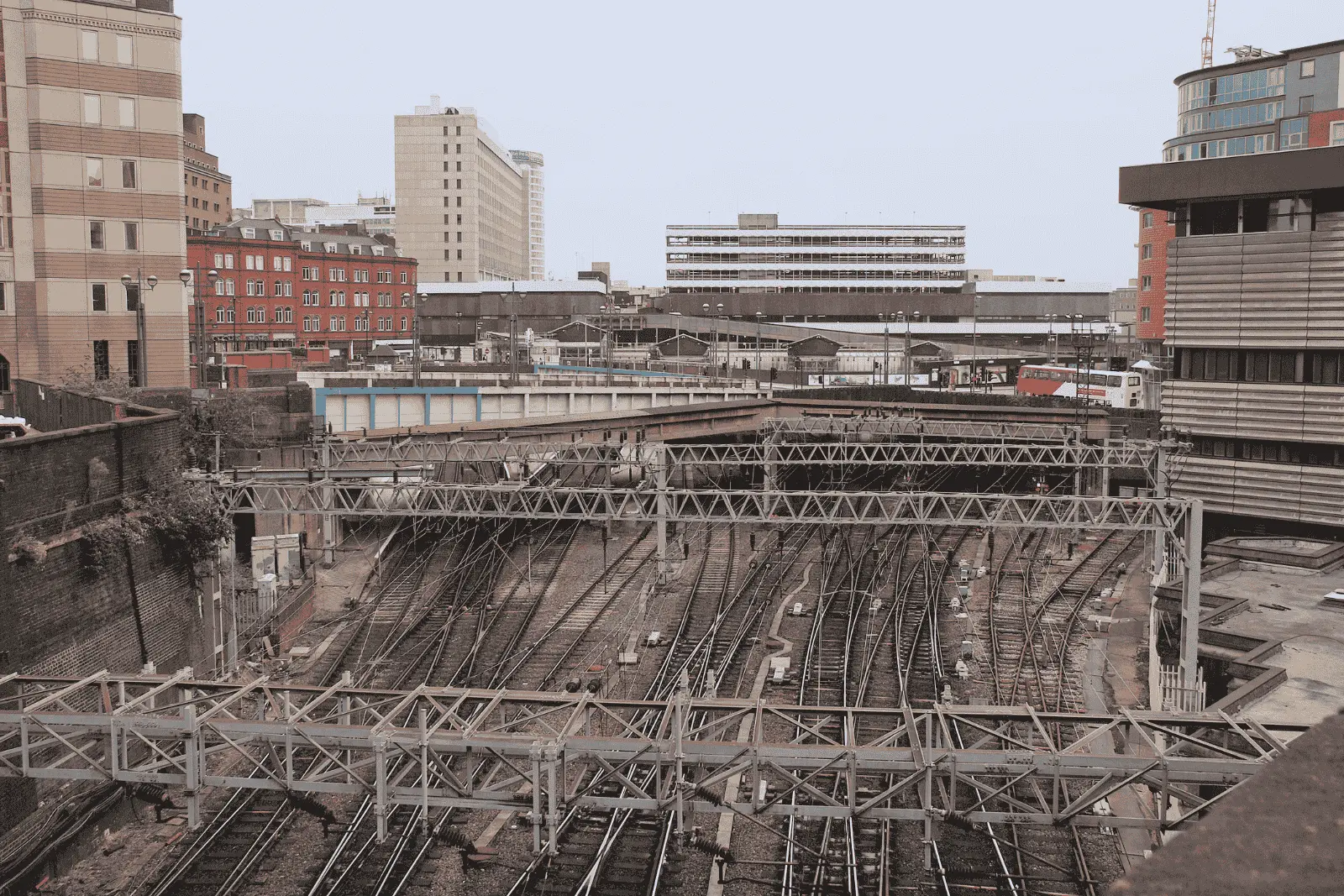
What NPPF reforms mean for development near train stations
Development land near train stations is becoming a central focus of planning policy.
Proposed NPPF reforms signal a clear shift towards prioritising development in well-connected locations, including a potential ‘default yes’ approach for suitable schemes around transport hubs.
The consultation also proposes minimum density thresholds of:
- 40 dwellings per hectare around all stations
- 50 dwellings per hectare around well-connected stations
In practice, this means:
👉 more homes delivered in locations already supported by infrastructure
Where development land near train stations is located in England
The opportunity is significant - but not evenly distributed.
The largest volumes of development land near train stations are concentrated in:
- London - 251,784 potential homes
- North West - 132,610 homes
- South East - 129,148 homes
Together, these regions account for around 62% of total identified capacity.
However, this is not just a London story. Regions such as the West Midlands and Yorkshire show strong development potential on a per-station basis, highlighting areas where land availability and lower constraints create particularly attractive conditions.

A national opportunity - not just a few hotspots
One of the most important insights from the data is how widely distributed the opportunity is.
- The top 10 stations account for just 3.3% of total capacity
- Over 240 stations could support more than 1,000 homes
- Dozens of locations exceed 2,000 potential homes
👉 Development land near train stations represents a broad national opportunity, not a handful of standout sites.
Regional breakdown of development land near well-connected train stations
How we identified sites near train stations
This analysis goes beyond high-level estimates to identify realistic development potential.
For each station, we:
- Defined a 15-minute walk catchment area
- Removed land unlikely to be developed, including:
- Existing uses such as schools and infrastructure
- Environmental constraints
- Physical limitations such as steep terrain or water
- Assessed the remaining land across four key criteria:
- Land availability
- Planning constraints
- Brownfield status
- Policy support
The result is a more grounded view of development land near train stations, aligned with likely planning outcomes rather than theoretical capacity. And you can read more about our methodology here.
Top 10 stations by housing availability
The table below highlights the top 10 stations in England by potential housing capacity, based on land within a 15-minute walk and a baseline density of 50 dwellings per hectare. While these locations represent some of the largest individual opportunities, they account for just 3.3% of total national capacity - reinforcing how widely distributed development potential is across the country.
While these stations highlight some of the largest individual opportunities, the real takeaway is scale - development potential exists across hundreds of well-connected locations, not just the top-ranked sites.
Understanding where to focus is one thing.
👉 Finding the right sites - and acting quickly - is where the advantage sits.
Explore the full leaderboard or book a demo to see how to identify and assess sites around these locations using Searchland.