Our team of property and land experts are constantly analysing news from governments and industry leaders. We compile all our insights into one place.
Stay up-to-date with permitted development changes, new legislation and market movements.
See the charge code, lender, and secured debt behind any company on Searchland's ownership page — built for due diligence, refinancing, and acquisition prospecting.
With difficulties obtaining planning permission on the Green Belt could Labour's plans for development of the so-called ‘Grey Belt’ provide the land needed to deliver on housing targets in the UK?
How a specialist block agency finds off-market MUFBs: the ownership, leasehold and EPC filters used to source unsplit multi unit freehold blocks.
Sourcing a site is only half the job - the other half is getting a lender comfortable with the numbers. We hosted a webinar with Andrew Fraser, Chief Commercial Officer at Assetz Capital, to break down exactly how an agile lender's credit team assesses a deal, from first read to term sheet.
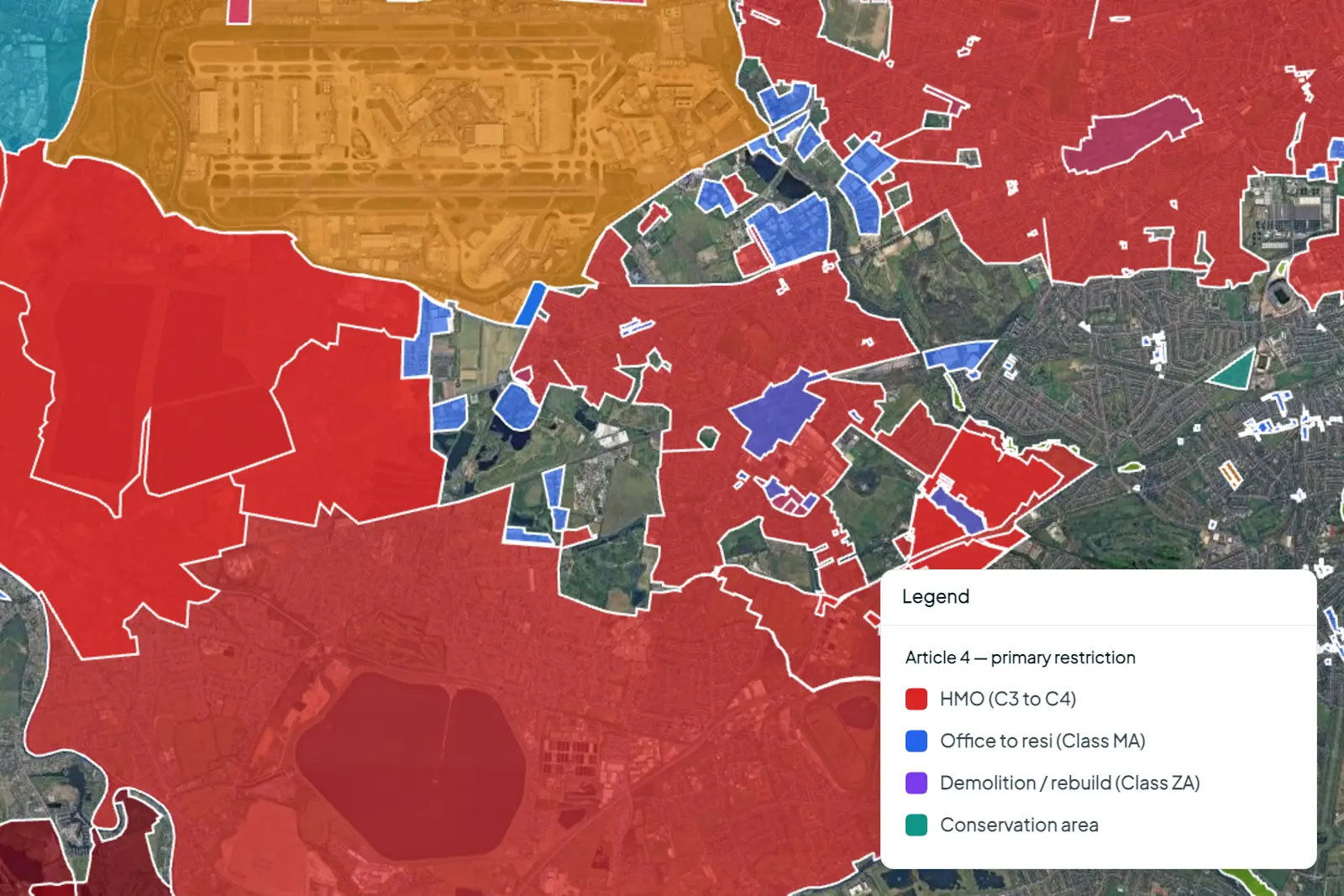
Article 4 Directions quietly withdraw permitted development rights, and they cover the majority of England's councils. Searchland's Article 4 data is now searchable by restriction type, PD right and use class.
See planning enforcement notices against any application or title on Searchland - know who's breached planning rules before you commit to a site.
You’ve probably heard all about how the high street is taking a beating from online retailers. Well, in a surprising trend reversal, we’re now seeing major e-commerce brands expanding into physical spaces.
The commercial data partnership you’ve been waiting for is here. Access on-market commercial property sales, lettings, leasehold and completed deal listings along with rich property data exclusively in Searchland
It’s the Biodiversity Net Gain Proptech partnership you’ve been waiting for! Together with GAIA, the UK's leading BNG marketplace, we've developed a comprehensive and cutting-edge tool to transform how you engage with BNG projects.
Placing 31st in this year’s Cloud Challengers Top 100 Report, Searchland has been recognised as one of the most promising early start-ups in Europe - find out how we made the cut!
As 2023 ends, a ponderous UK Government finally publishes the long-awaited Housing Delivery Test 2022 - showing the state of housing delivery over the past 3 financial years. Here’s our take on the data.
From the outset, our mission at Searchland has been fuelled by one clear purpose: to revolutionise how developers, entrepreneurs, planners and architects source and assess sites at scale. Our integration with Rightmove's data brings this vision into sharper focus than ever.
UK planning application approval rates by local authority from 2011–2026 - including live 2026 decisions. Compare councils, trends and sectors in one national view.
Permitted development rights allow certain types of development to proceed without full planning permission. Learn how they work and why they matter for developers.
A practical guide to the call for sites process, explaining how councils assess land and how developers use CFS to build long-term pipeline.
Class R rules changed in May 2024, expanding the commercial uses allowed on agricultural units. Understand what’s now permitted and how to assess viable opportunities.
Class Q allows agricultural buildings to be converted into up to 10 homes without full planning permission. Learn the rules, limits, and how developers are sourcing opportunities today.
MCP is everywhere right now. But not all connectors are built the same - and in property and planning, the difference shows up fast. Here's what to look for, and how Searchland stacks up.
Proposed NPPF reforms could introduce a “default yes” approach to development near train stations. We’ve analysed 1,000+ locations across England to identify where the biggest opportunities sit - and how to get ahead before policy is finalised.
Sourcing and appraising development land in the UK requires using multiple site sourcing tools, from checking land ownership and planning history to assessing flood risk, environmental constraints, and site boundaries.
See surface water flooding risk for any site in the UK, directly on the map - a factor planning authorities increasingly expect you to address early.
See soil type, depth and peat coverage - Soilscapes data for any UK site, directly on the map.
Scotland-specific planning and land data is now on Searchland - the same depth of coverage as England and Wales, built into one platform.